Work / Landlines
See the line before you guess.
Parcel boundaries over the map, your GPS with an accuracy ring, and the public-record details the county publishes.
- Parcel lines over the map
- GPS with an accuracy ring
- Public-record owner and sale details


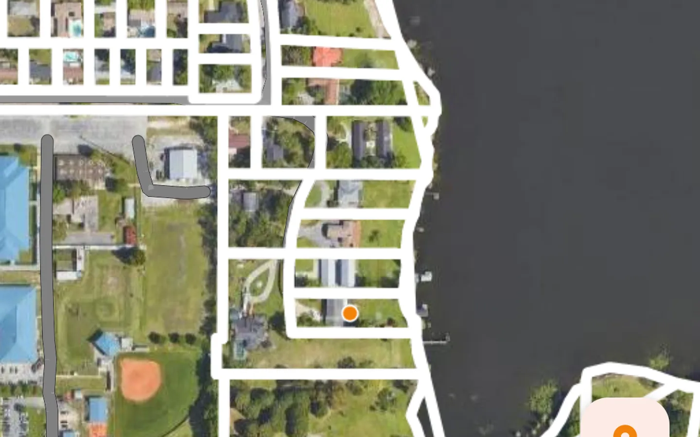
Landlines shows property parcel lines on a map, with your position and an accuracy ring, so you can see roughly where you stand relative to a boundary. Tap a parcel for its ID and, where the county publishes it, the last sale. The owner name is on that same tap, for up to 12 different parcels a month. The mailing address stays locked until Landlines Pro.
The lines come from government GIS sources, and the app names the source on each parcel. Coverage reaches portions of all 50 states and D.C., and it varies by county. Phone GPS is typically accurate to a few meters. Landlines is a reference, not a survey and not a government app.
The map is free to open. Search by address, place, or ZIP. Landlines Pro is a monthly or yearly subscription, bought in the App Store or Google Play app, at that store’s price. It adds mailing addresses, owner and parcel-number search, adjacent owners, street-level views, and unlimited saved parcels. A subscription on one store does not unlock the app on the other. You do not need an account to look at the map.
Need an app like this? Talk to HMB.